Conservation areas archive of documentation
We have received government funding to improve our planning digital data through the MHCLG Digital Planning Improvement fund: Round 2.
Conservation areas datasets were enhanced as part of the award funding. These are available from this webpage, and can be explored in the map of planning data for England: Map of planning data for England | Planning Data.
The documents available below are an archive of all documents relating to the conservation areas, historic and current, and are for information purposes only. For current planning applications please refer to the most recent character appraisals and boundary maps which can be found on our website List of conservation areas – New Forest National Park Authority.
For a more general introduction to the 20 Conservation Areas in the New Forest National Park, including planning guidance please see Conservation areas – New Forest National Park Authority.
Having designated a Conservation Area, the National Park Authority has a statutory duty to ensure that those elements which make up its special character or appearance are preserved or enhanced, especially when considering planning applications.
Licence
This dataset has been published by New Forest National Park Authority under the Open Government Licence Open Government Licence (nationalarchives.gov.uk). This licence has been applied following the Public Sector Geospatial Agreement ‘presumption to publish’ process.
There are two datasets available
Conservation Area data: A spatial dataset with polygons for each area |
|
Conservation Area document: A list of the sources for each Conservation Area |
Conservation area documents - alphabetical list
The Ashlett Creek Conservation Area was first designated in 1993, and last amended in 2009.
This conservation area sits within the parish of Fawley and straddles the boundary with New Forest District Council.
The Bank Conservation Area was first designated in 1981, and last amended in 2008.
This conservation area sits within the parish of Lyndhurst.
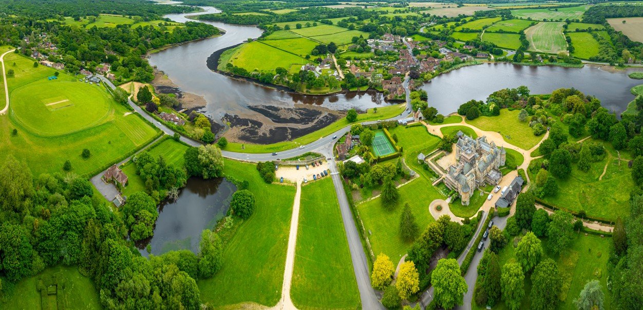
The Beaulieu Conservation Area was first designated in 1971, and last amended in 2009.
This conservation area sits within the parish of Beaulieu.
The Breamore Conservation Area was designated in 2000.
This conservation area straddles the boundary with New Forest District Council. The part of the conservation area that falls within the National Park boundary covers land within the parishes of Breamore, Hale and Woodgreen.
The Brockenhurst Conservation Area was first designated in 1983, and last amended in 2009.
This conservation area sits within the parish of Brockenhurst.
The Buckland (Lymington) Conservation Area was first designated in 1988, and last amended in 1999.
This conservation area straddles the boundary with New Forest District Council. The part of the conservation area that falls within the National Park boundary covers land within the parishes of Lymington & Pennington, and Boldre.
The Buckler’s Hard Conservation Area was first designated in 1971, and last amended in 2009.
This conservation area sits within the parish of Beaulieu.
The Burley Conservation Area was first designated in 1981, and last amended in 2009.
This conservation area sits within the parish of Burley.
The Exbury Conservation Area was first designated in 1998, and last amended in 2009.
This conservation area sits within the parish of Exbury & Lepe.
The Fritham and Eyeworth Conservation Area was first designated in 1981, and last amended in 2009.
This conservation area sits within the parish of Bramshaw.