What is a brownfield site / previously developed land?
The Government defines brownfield sites (or ‘previously developed land’) as land which is or was occupied by a permanent structure, including the curtilage of the developed land and any associated fixed surface infrastructure (Annex 2 of the National Planning Policy Framework, 2024).
Brownfield sites do not include:
- land occupied by agricultural or forestry buildings
- certain minerals and waste disposal sites where restoration plans are in place
- land in built-up areas such as private residential gardens, parks, recreation grounds and allotments
- land where the previous development has blended into the landscape.
About the register
Local planning authorities in England are required to prepare, maintain and publish registers of previously developed (brownfield) land (Regulation 3 of the Town and Country Planning (Brownfield Land Register) Regulations 2017).
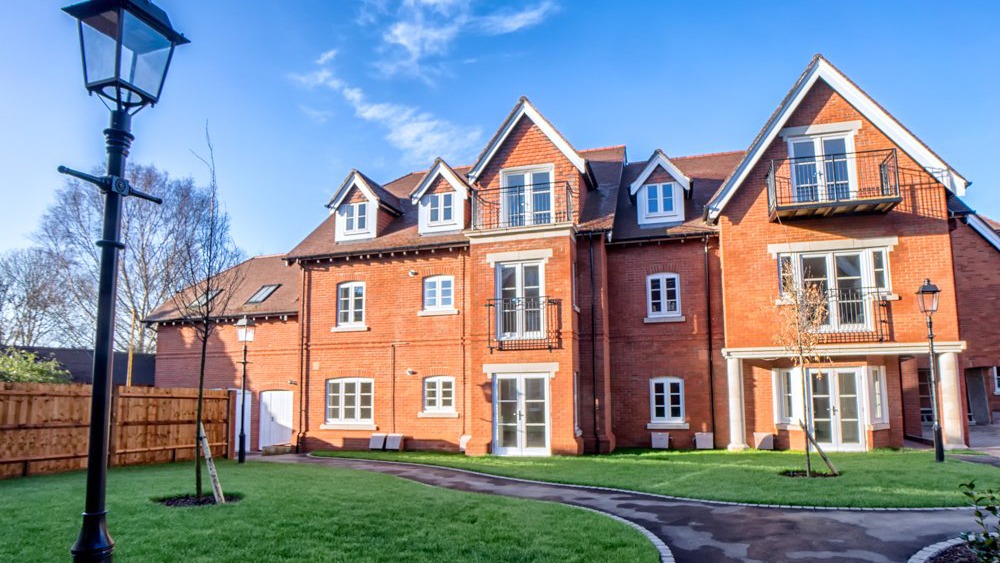
Brownfield land registers provide up-to-date and consistent information on sites that local authorities consider to be appropriate for residential development. Within the New Forest National Park it therefore only includes sites within the defined villages of Ashurst, Sway, Lyndhurst and Brockenhurst; brownfield sites allocated for residential development within the adopted development plan for the National Park; or brownfield sites with extant planning permission that have yet to be completed. Registers are published locally as open data and provide transparent information about suitable and available sites.